GIS Software
Leica Geosystems offers a broad range of software that seamlessly connect measurement sensors to provide maximum productivity.
Related Products
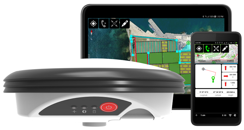
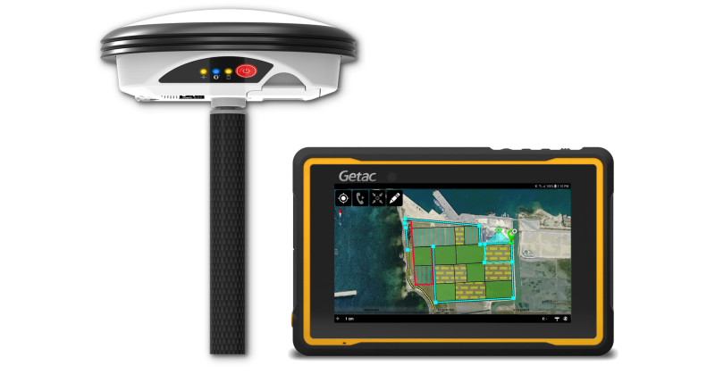
Leica GG04 plus Tablet Solution
Zeno-Produkte Premium per zgjidhje te thjeshtezuara Asset-Collection.

 Tirane - Prishtine
 +355 69 20 57 934