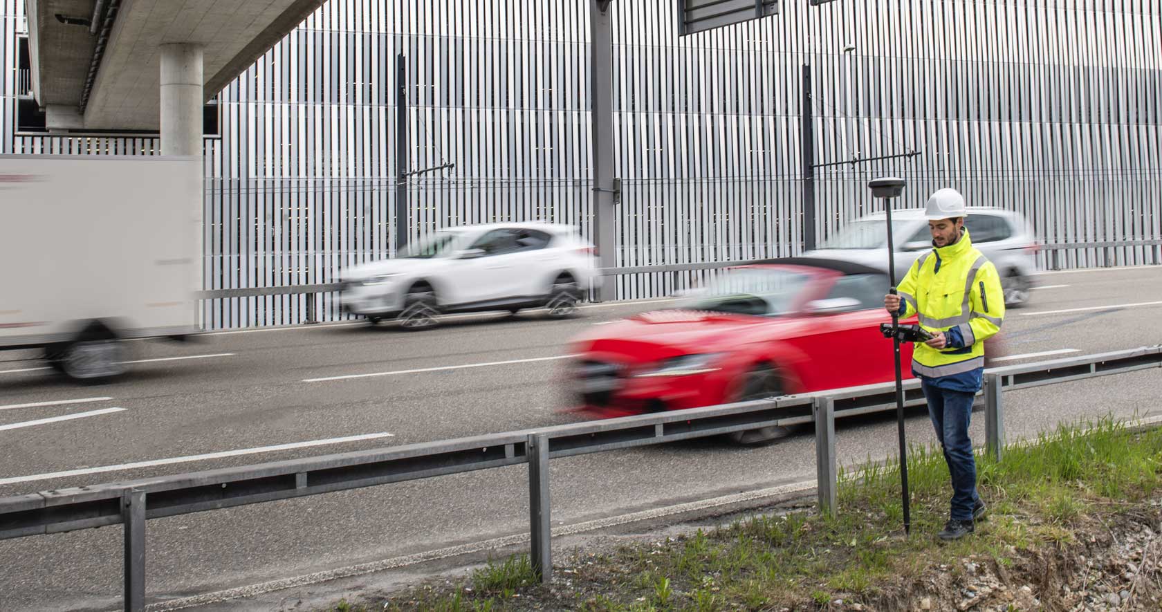
Measure what you see using this versatile, survey-grade GNSS RTK rover with Visual Positioning.
3D reality capture solution combining a high-performance laser scanner and mobile-device app to capture and register scans in real time.
Measure and stakeout points quicker than ever before.
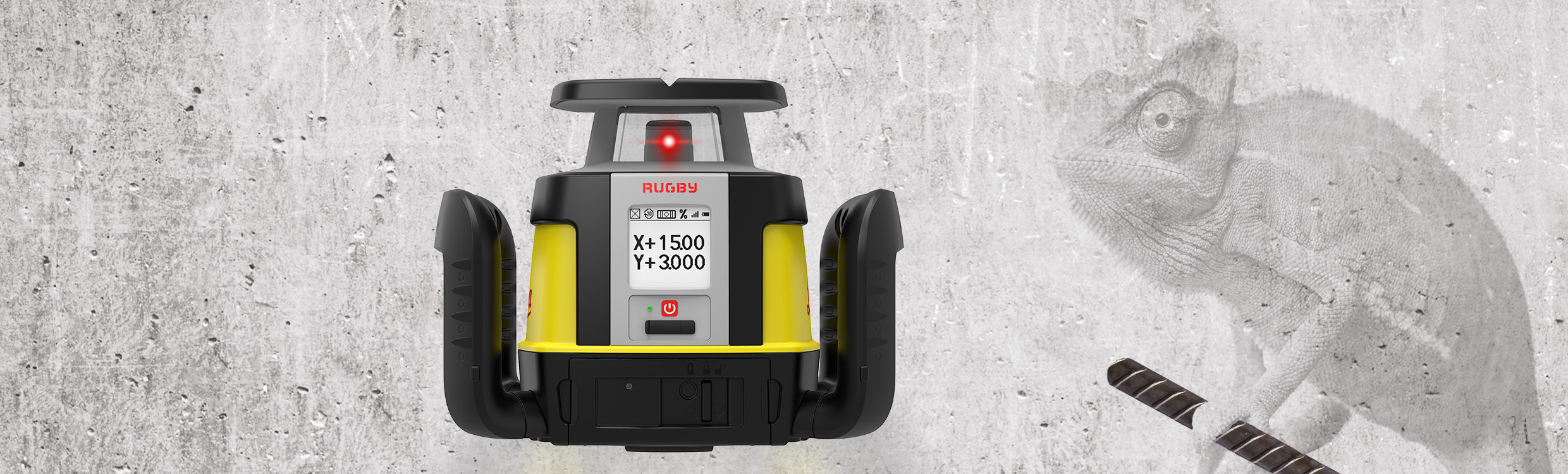
First upgradable lasers
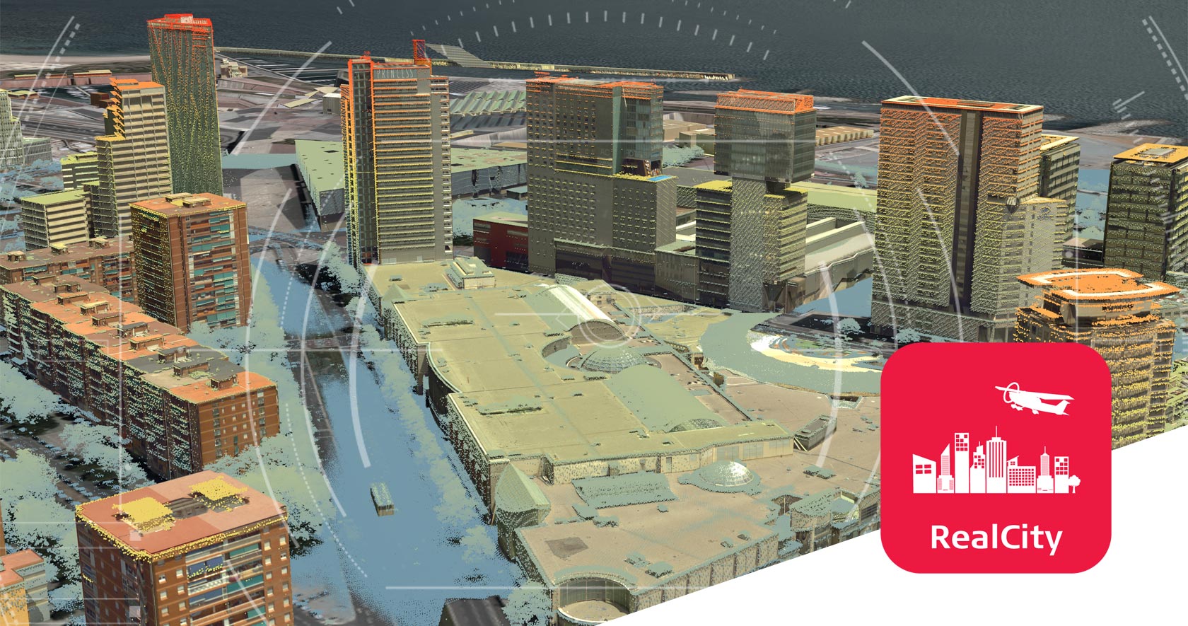
Airborne reality capture solution specifically designed for urban mapping and city modelling applications.
Measure anything from anywhere.
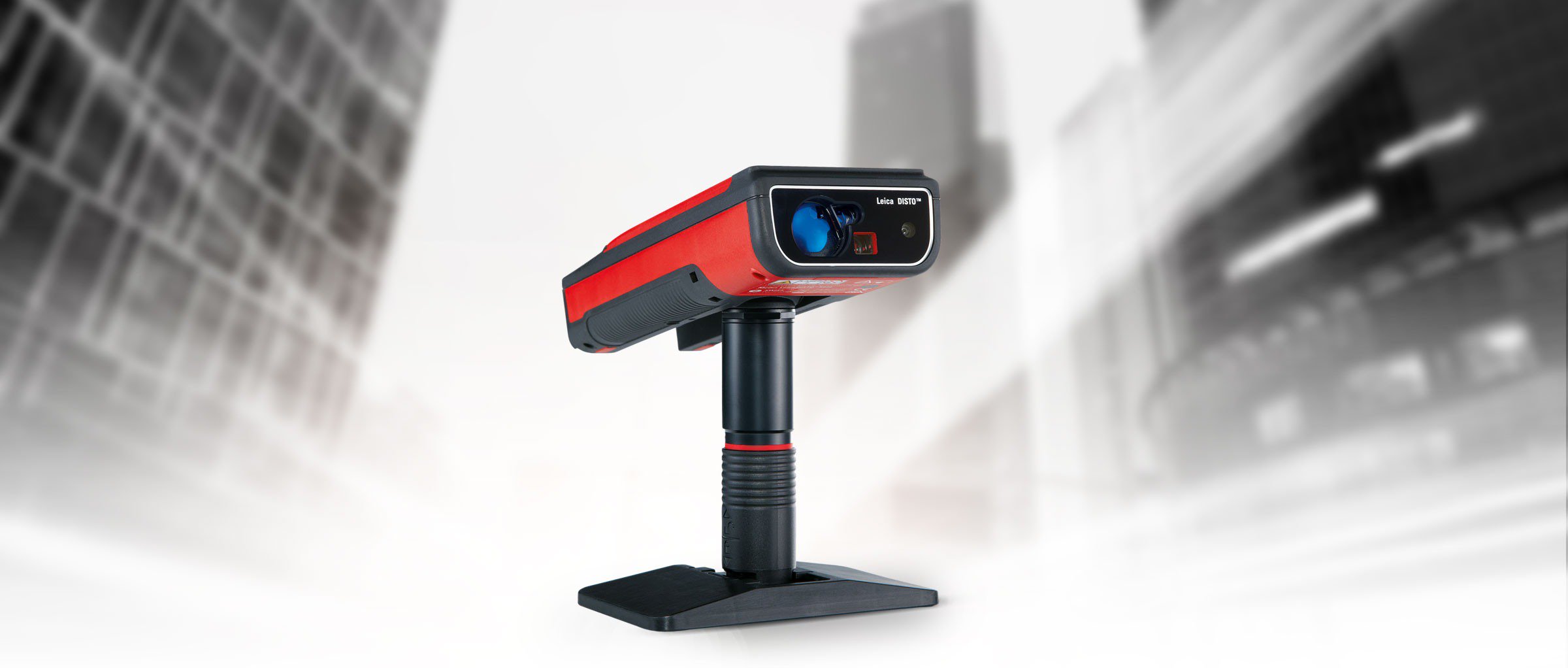
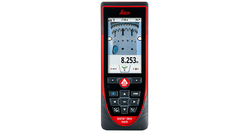
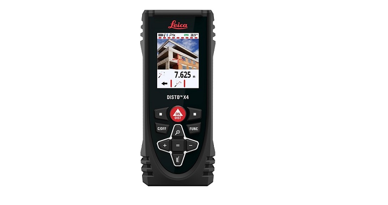
LDM with 3D measuring technology, wifi and AutoCAD plug-in.
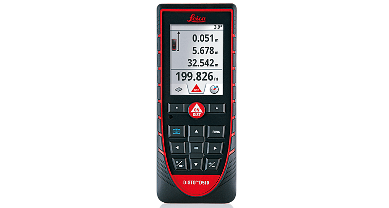
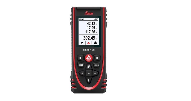
Outdoor LDM with pointfinder, Bluetooth and touchscreen.
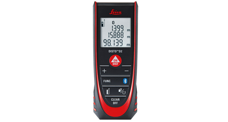
Outdoor LDM with 200m range, digital pointfinder and BT 4.0.
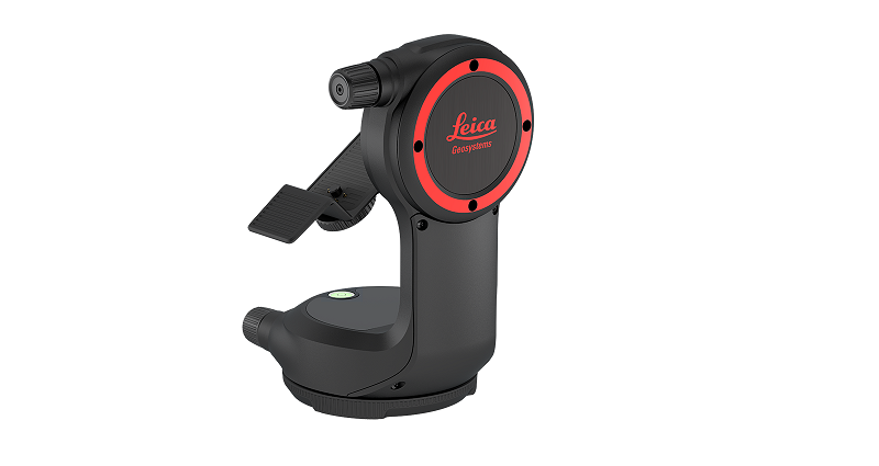
DST360 transforms the DISTO™X3 & X4 into a real station.
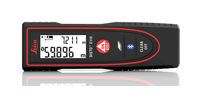
Pocketsize LDM with 100 m range and Bluetooth® Smart.
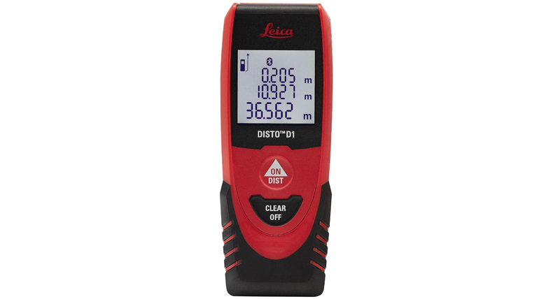
World’s smallest laser distance meter with Bluetooth® 4.0.
Easy-to-use and accurate laser range finder.
Water, dust, drop resistant laser measurer with Pointfinder.
Waterproof & dust tight (IP 65) and drop-tested up to 2 m.


 Tirane - Prishtine
 +355 69 20 57 934