


Product
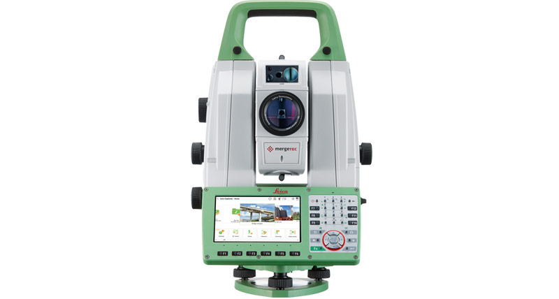
Total Stations
Measurements have never been so easy to perform as with Leica Geosystems Total Stations.
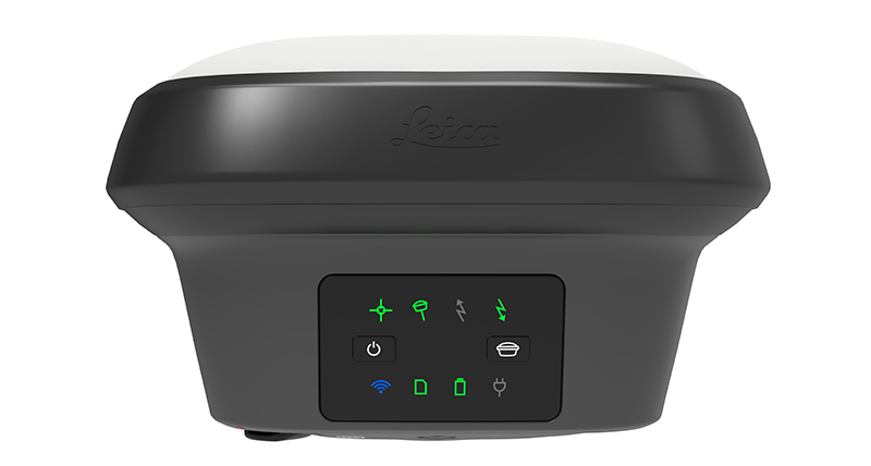
GNSS Systems
Leica Geosystems offers the ideal system for every GNSS application. Powerful GNSS technology for unmatched accuracy.
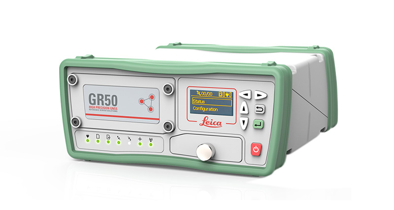
GNSS Reference Networks
Innovative reference station solutions from Leica Geosystems - providing corrections from just a single reference station or a range of services from a RTK network.
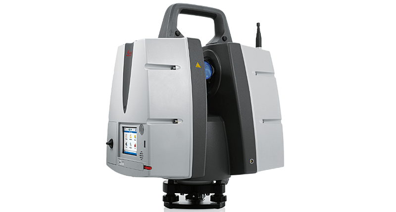
Laser Scanners
Delivering outstanding range, speed and data quality, Leica Geosystems laser scanners are the perfect solutions for any tasks in 3D laser scanning.
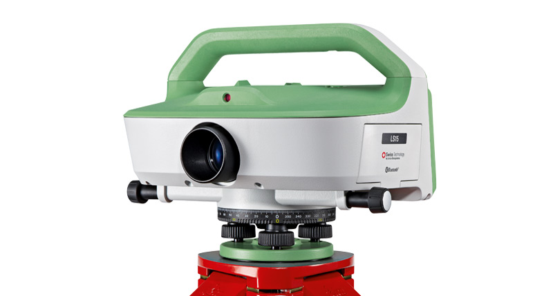
Levels
Leica Geosystems offers the most comprehensive and robust range of levels in the market today.
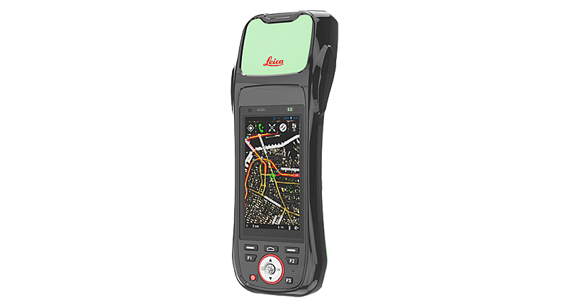
GIS Collectors
Whenever you need a reliable partner to geo-enable your mobile workforces with high accuracy and easy-to-use products, the Leica Zeno GIS series are the right choice.

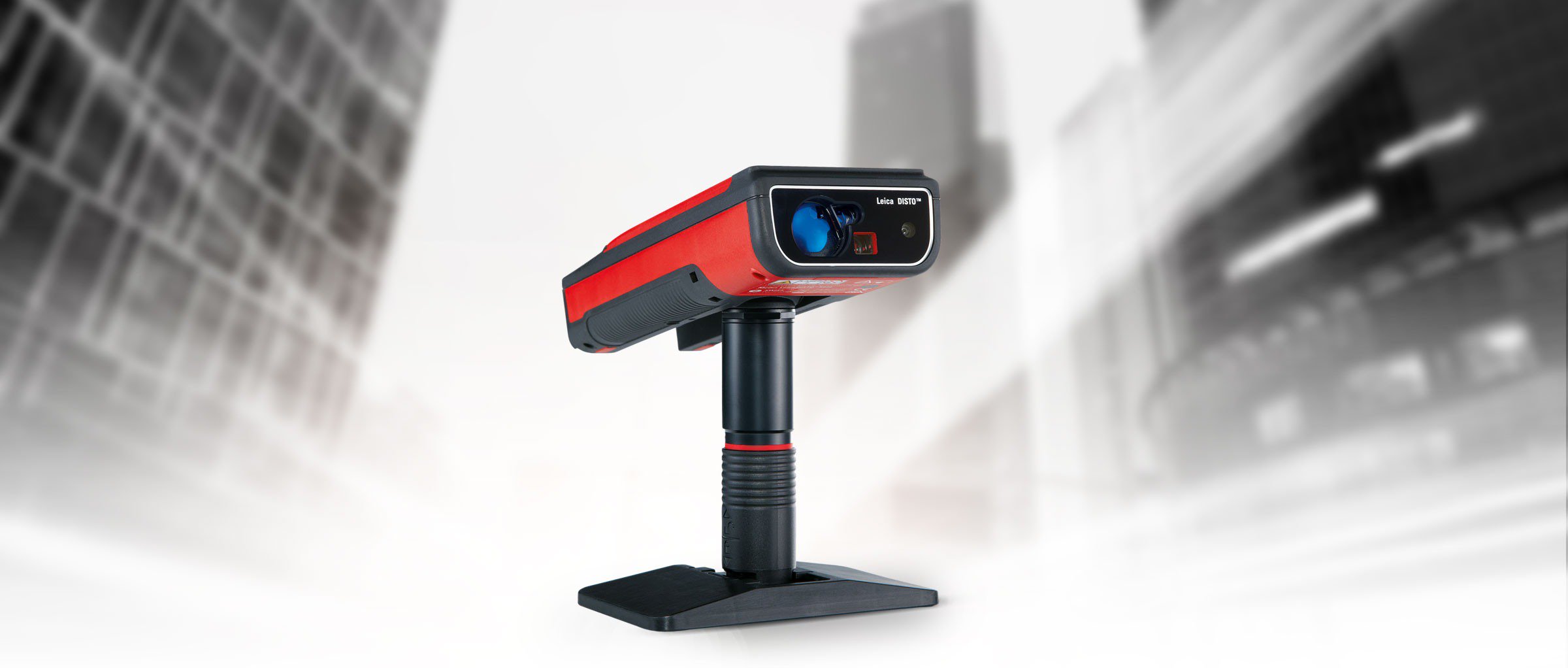
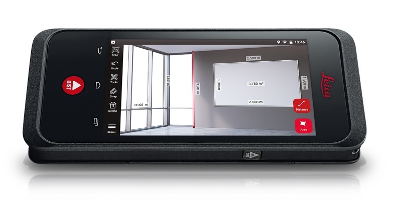
DISTO™ & Lino
Leica DISTO™ & LINO laser measuring and automatic line and point leveling tools. Available with green laser technology and 3D point-to-point measurement.

 Tirane - Prishtine
 +355 69 20 57 934