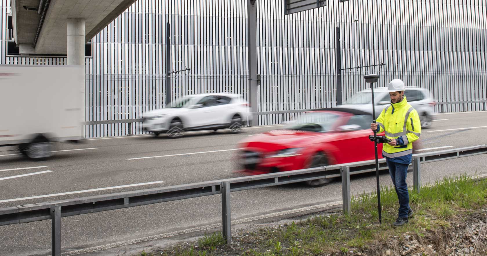
Measure what you see using this versatile, survey-grade GNSS RTK rover with Visual Positioning.
3D reality capture solution combining a high-performance laser scanner and mobile-device app to capture and register scans in real time.
Measure and stakeout points quicker than ever before.
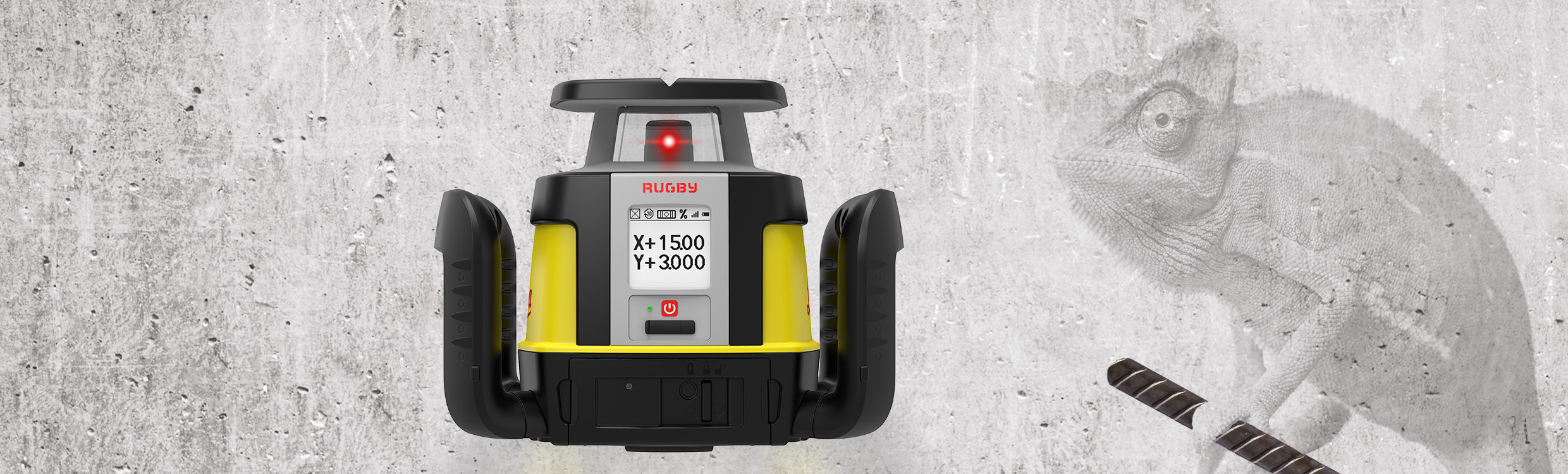
First upgradable lasers
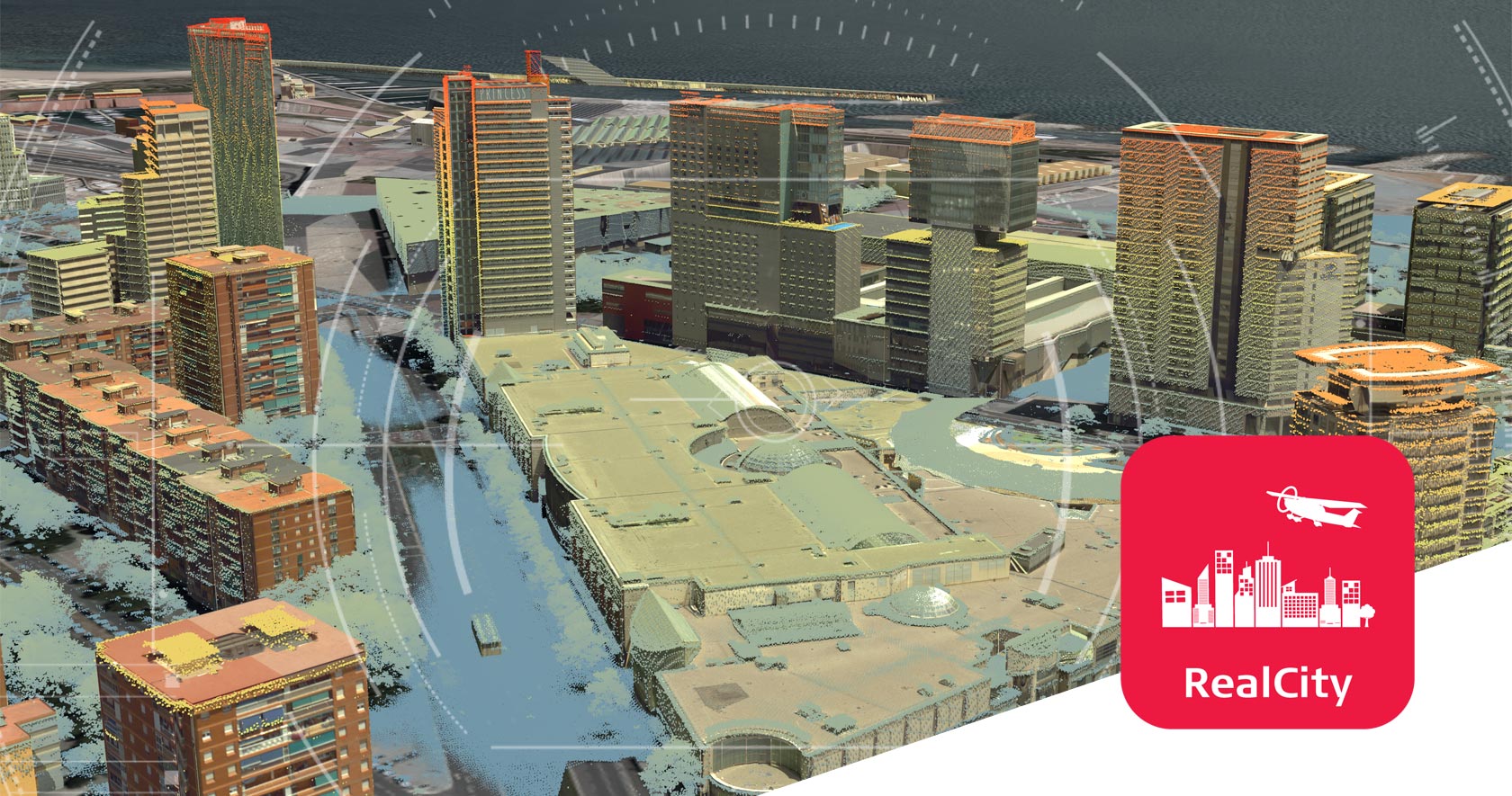
Airborne reality capture solution specifically designed for urban mapping and city modelling applications.
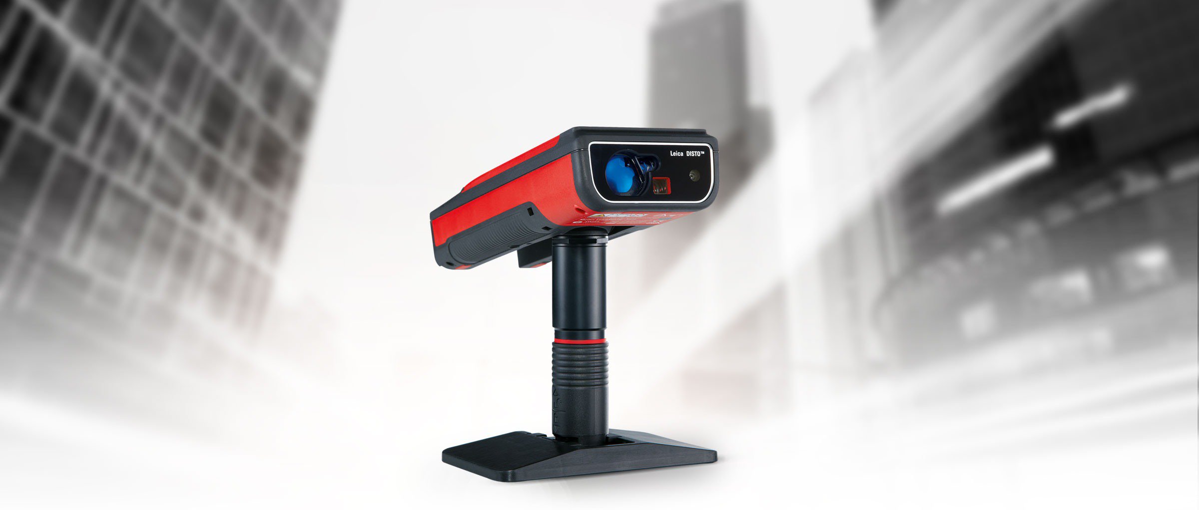
Measure anything from anywhere.
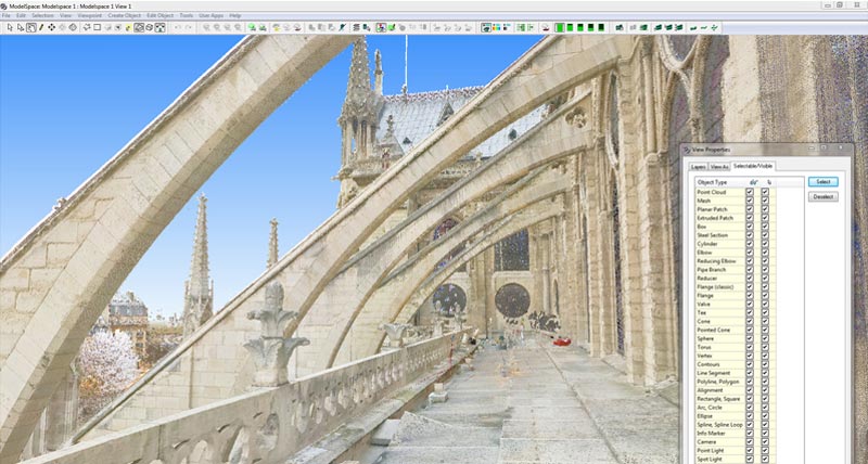
Software to process, model and manage 3D point clouds.
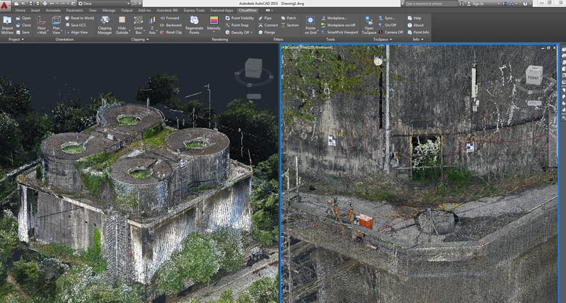
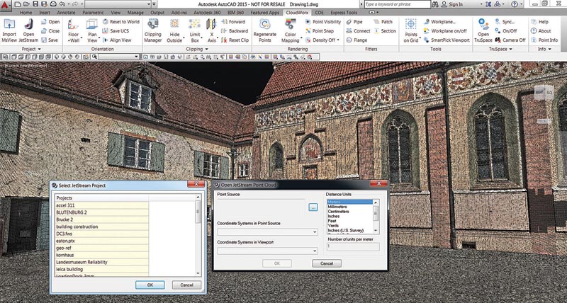
Point cloud processing plug-in for CAD systems.
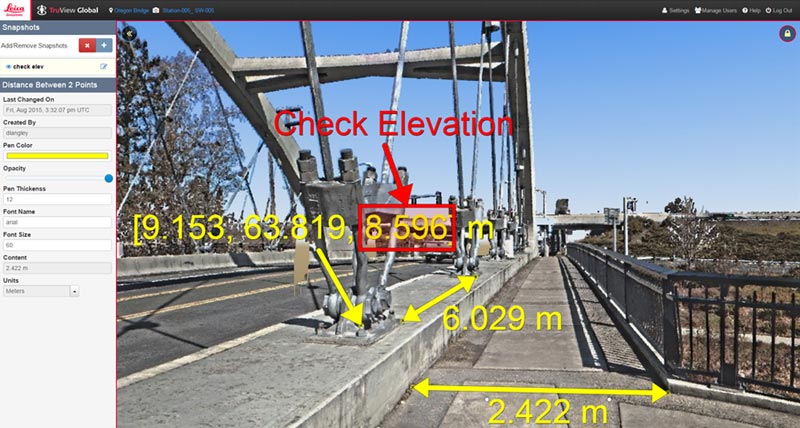
Share & view point cloud data freely via the web or intranet.
Simplified point cloud access and ultra-high-speed rendering.
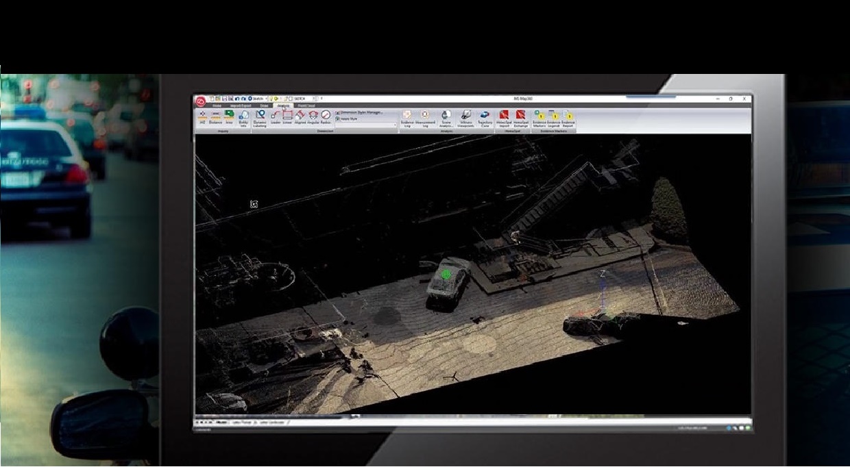
Leading software suite for forensic investigation.


 Tirane - Prishtine
 +355 69 20 57 934