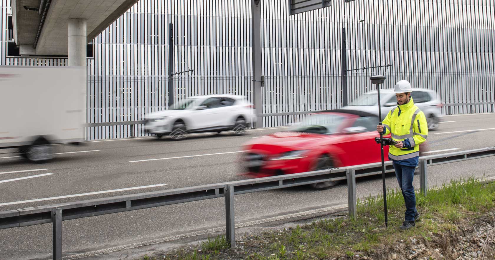
Measure what you see using this versatile, survey-grade GNSS RTK rover with Visual Positioning.
3D reality capture solution combining a high-performance laser scanner and mobile-device app to capture and register scans in real time.
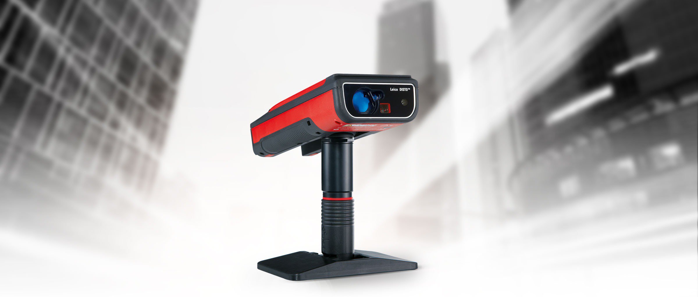
Measure and stakeout points quicker than ever before.
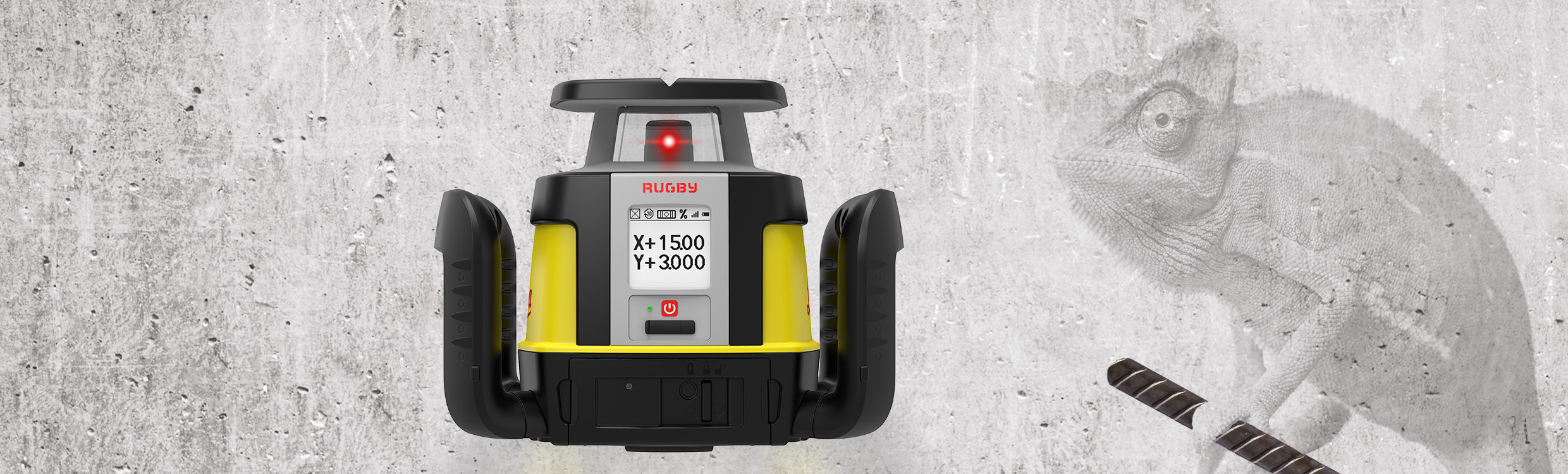
First upgradable lasers
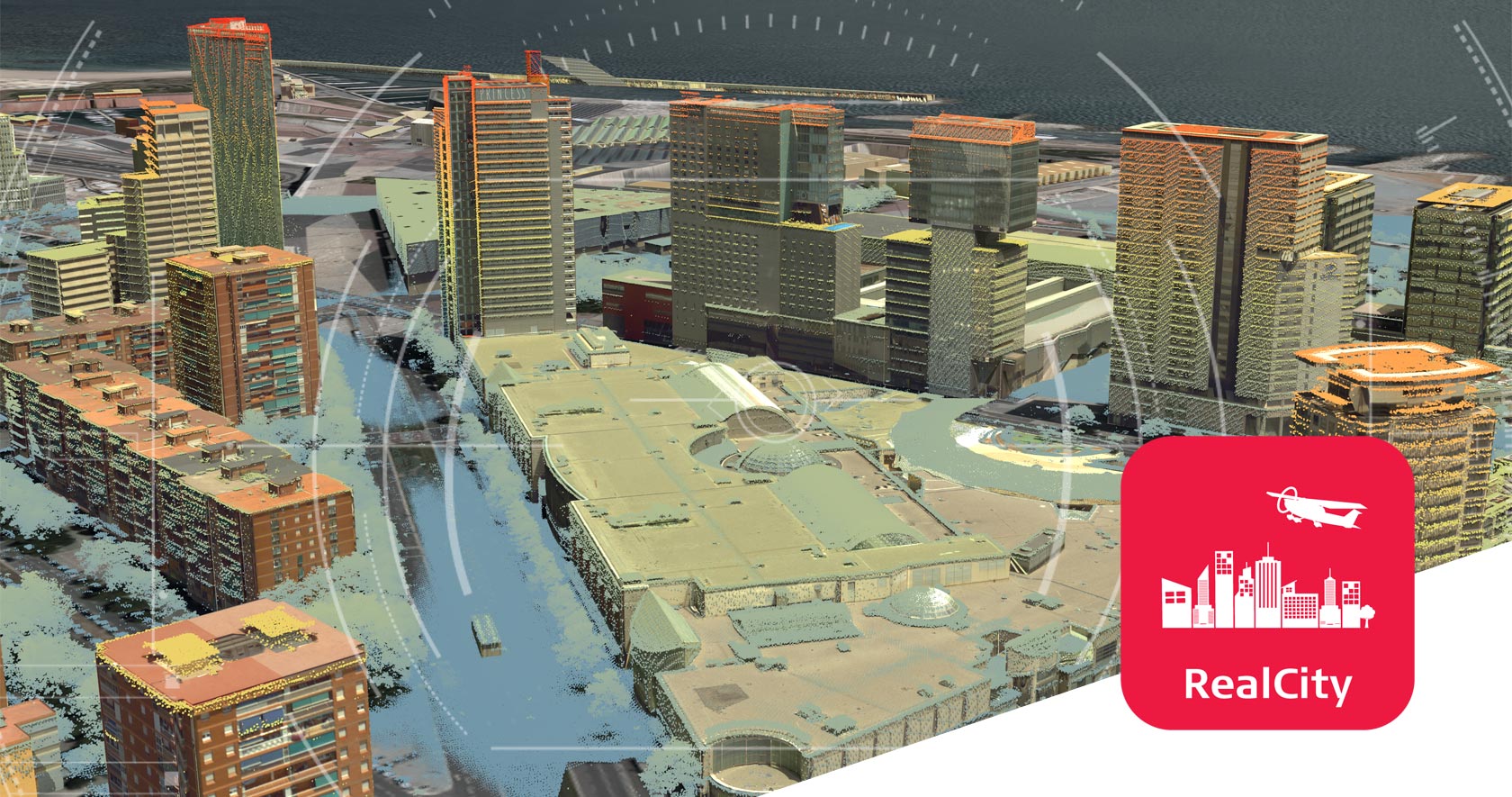
Airborne reality capture solution specifically designed for urban mapping and city modelling applications.
Measure anything from anywhere.
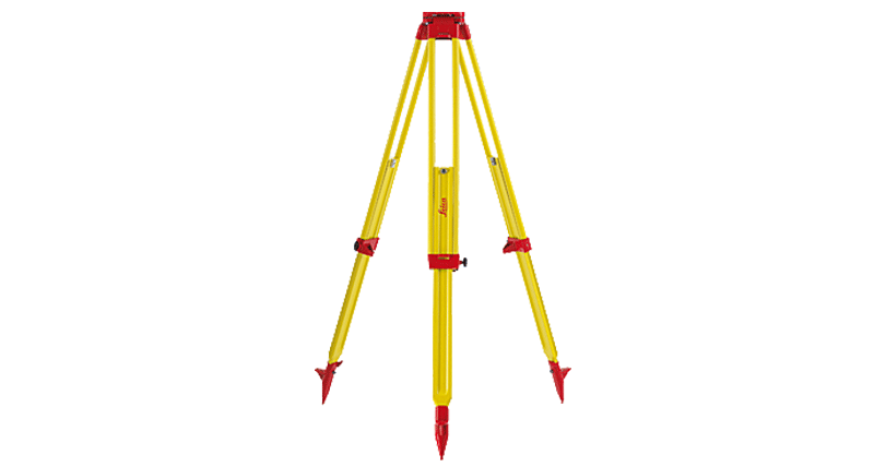
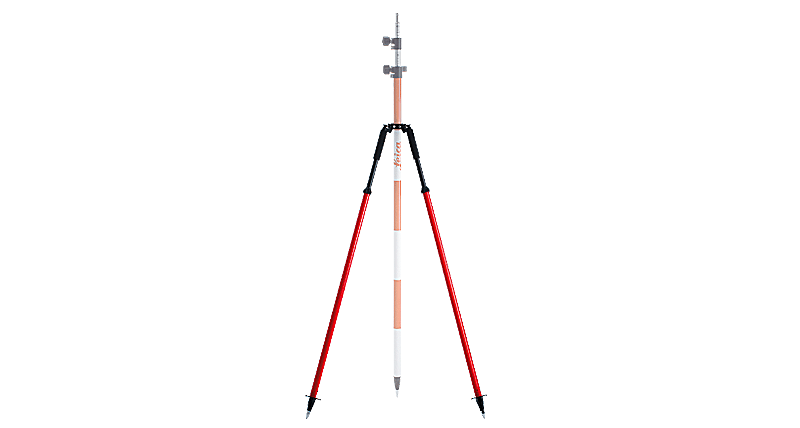
A large selection of quality tripods for all applications
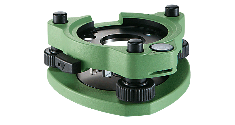
Original quality tribrachs to comply with all accuracies.
Highest quality glass and optical coatings for longevity
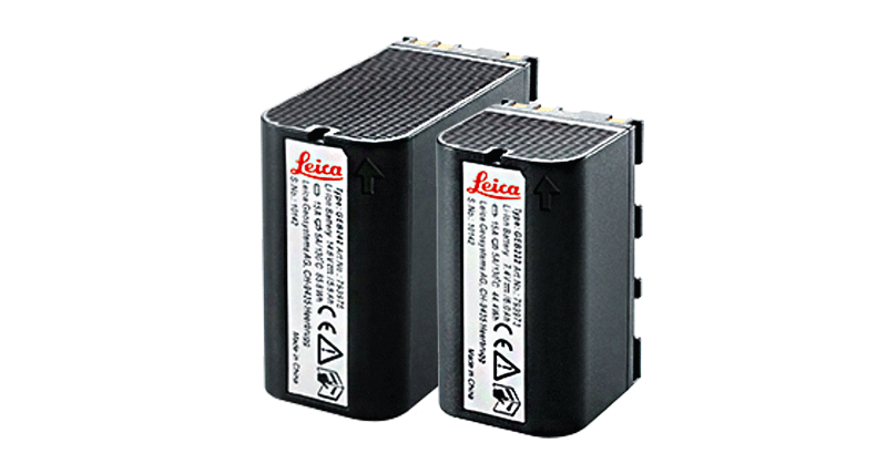
Chargers and batteries that are perfect for each instrument
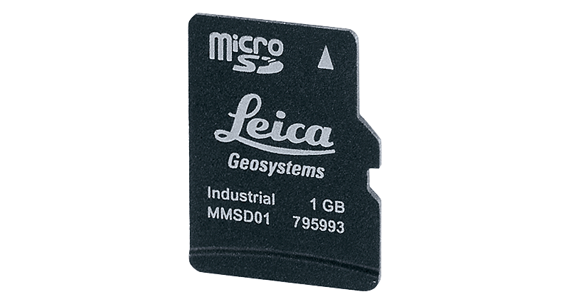
Storage media that are perfectly matched to instruments
Extremely reliable and secure cables for all instruments
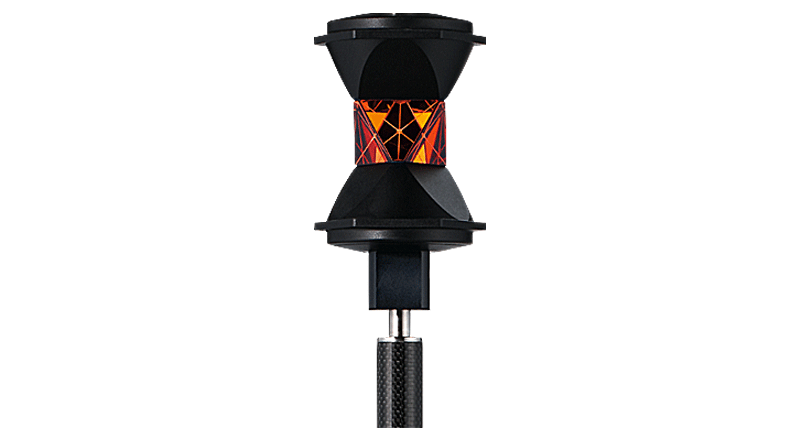
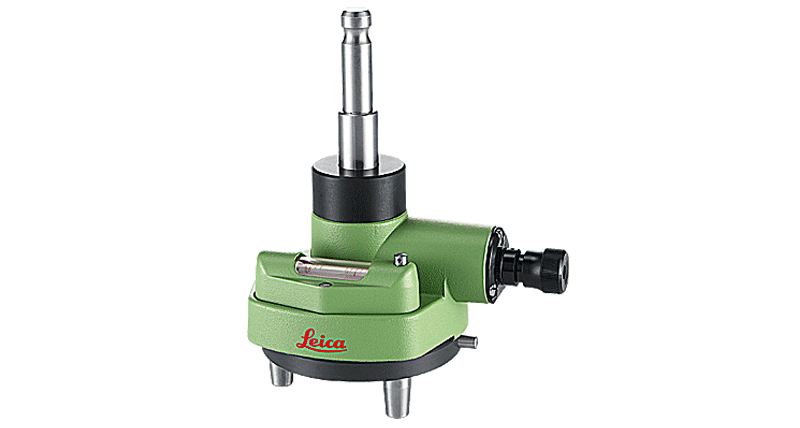
Original carriers with quality features for high accuracy
Original poles with optimal balance of weight and stability
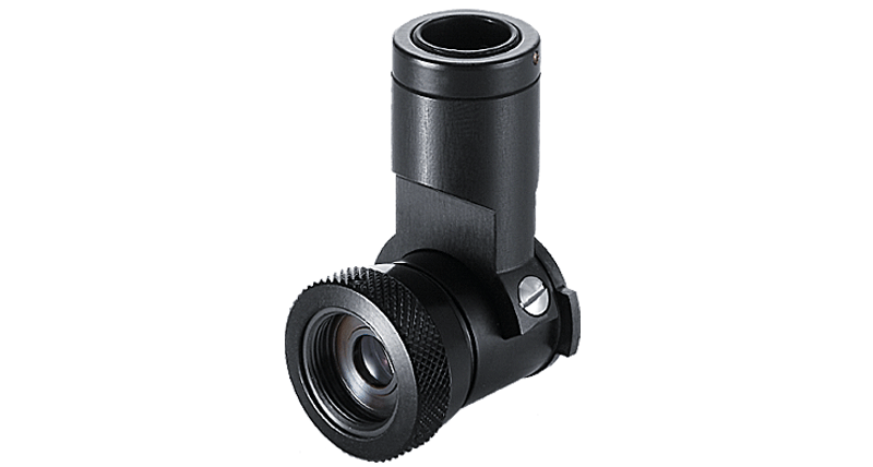
Eyepieces and ancillary lenses for highest performance
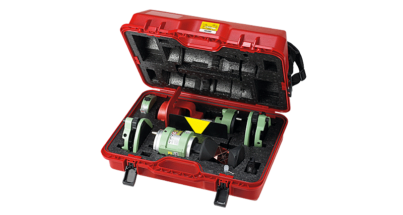
Bags & containers designed for maximum protection & comfort


 Tirane - Prishtine
 +355 69 20 57 934